
THE PATH OF THE GORIZIA MOUNTAINS
by ANDREA BELLAVITE
Among the many “paths” available, there is also that of the “Gorizia mountains”.
It is a fascinating circular route that can be started from any point, for convenience here you choose the square of the Town Hall of Gorizia. It starts with the historic center, with the possibility of visiting the Cathedral, taking a look at Via Rastello and climbing up to the Castle, the first and slightest roughness among the many that await the wayfarer. Descend along the east wall and cross the lush forest on an excellent path that leads to Via Giustiniani and then to the two museums located on either side of the Rafut pass. The second hill is that of Kostanjevica, whose summit, where the famous sanctuary with the tombs of Charles X and the last Bourbons of France is located, is reached through the spectacular park within which the Laščak villa is located. You then descend towards the Koren stream and have time to pass through the center of Nova Gorica, admire the Town Hall building, the bright Bevk library, the National Theater and, after the pine grove, the new interesting co-cathedral. We head towards the suburban village of Kromberk.
This is where the first real climb of the journey begins, with a beautiful alpine-style path that leads to Kekec, a Santa Caterina locality sadly famous for the battles of the First World War. After a short asphalt interlude, you resume the climb, until you reach the summit of Mount Škabrjel, known in Italy as San Gabriele (643 m). A metal structure about twenty meters high allows you to rise above the forest and contemplate a wide panorama. Particularly significant is the view to the north, where Sveta Gora (the Holy Mountain) from here appears as a daring pyramid. The Italians, after conquering Gorizia on 8 and 9 August 1916 and subsequently reaching Monte Santo, tried in vain to reach the top of San Gabriele, defended by General Boroevič and a battalion of Austro-Hungarian soldiers. The traces of the bombings and the trenches dug everywhere allow you to imagine the tragedies of war, but the mountain also offers many other, less dramatic, ideas that suggest a visit. For example, the flora and fauna are particularly interesting, when you are lucky enough to meet roe deer, foxes and even, rarely, bears. Descend towards the wide saddle overlooking the village of Grgar.
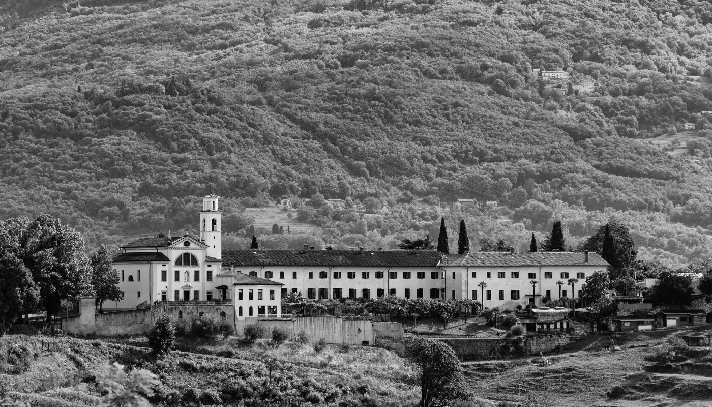
On several paths you can tackle the second challenging climb, towards the large church and convent built on the basis of the story of the shepherdess Urška Ferligoj from Grgar who is said to have seen the Virgin Mary there. The history of the site has been quite tormented, the sacred buildings have been destroyed several times and then rebuilt, today they are a warning to concord and peace between peoples and human beings. From the top (691 m), you can embrace the Friulian plain as far as the sea, the gentle Vipava Valley and, to the north, the wonderful crown of the Julian Alps dominated by Triglav, the highest mountain in Slovenia and the entire “Central European” territory. There is not much time to enjoy the view, the road is still long and you need to prepare to descend on other suggestive paths, without neglecting the nearby Mount Vodice, where the monument to General Gonzaga was built. A good hour and you reach the level of the Soča river again, which you cross in Solkan, on the bridge built after the Treaty of Osimo in 1975.
You face a stretch of about one kilometer with short ups and downs, along the cycle path that leads to Plave. A path, very market and well marked, indicates the beginning of the northern route, the one that climbs steeper and steeper up to the large rocks below the summit ridge. You can contemplate, with a certain melancholy, the shelters of the Austro-Hungarian soldiers and you can reach, through tunnels and trenches, the area of the shelters, where illustrative panels and an excellent private museum allow you to realize the very hard life reserved for soldiers – first imperial and then of the royal army – in those harsh areas. The ridge that leads from the refuges to the summit is beautiful, aerial and impressive, with increasingly beautiful views of the river that flows placidly, almost paralyzed by the Solkan dam, a kind of colorful snake nestled among the mountain massifs. From the summit (609 m) you can enjoy another incomparable panorama, with the possibility of contemplating the sea as far as Croatia on one side, on the other the succession of lagoons of Grado and Marano and, on clear days, even Venice. Continuing the ridge, you descend to the evocative ruins of the hermitage of San Valentino, a place of intense spirituality and picturesque legends, saved from abandonment and oblivion by the tireless and indispensable work of the late Gorizia Mario Muto. The descent requires attention, it is decidedly bumpy if you face the “direct” south, the one that passes between the I and the T of the large inscription of karst stones that praises the president of Yugoslavia, Marshal Tito. You can also reach the opposite side of the slope, where there is the former Italian barracks, from which a bright tricolor radiates every night.
The last part of the walk also holds beautiful surprises. You can quickly reach the village of San Mauro, with the romantic church from which you can enjoy an original view of the “Gorizie”. You descend to the Pevmica stream, particularly loved by Carlo Michelstaedter who often came here to contemplate nature and from there you go up to Pevma. You cannot miss a visit to the church dedicated to St. Sylvester and St. Anne, with interesting frescoes by the great Slovenian painter Tone Kralj. Continuing towards Gorizia, you pass in front of the monument dedicated to the partisans fighting for freedom and descend to the Ponte del Torrione, the current one built by the Allies after the Second World War, on the ruins of the previous one, the oldest in the city. It is time to go back up to the center of Gorizia, contemplating the green Coronini park, stopping in front of the illustrious Gorizia people remembered in the Public Gardens and returning shortly to the starting point.
Here, the tour is over, you can obviously also face it in the opposite direction. It requires a good day of walking, at least eight hours for the most trained, being about 32 km long and requiring the overcoming of about 1500 meters in altitude. Obviously, not everyone can afford it, for reasons of time and health. Those who want to, can make the whole journey with their thoughts, letting themselves be guided by the book Gorizia in the clouds, a journey between mountains and cities, published by Libreria Editrice Goriziana in 2019 with magnificent black and white images by the excellent photographer Massimo Crivellari.